Paris
Paris on foot: 18 places explained, 3 routes drawn on real streets, 6 districts and the essentials for getting around. Sources are cited on every page.
- 18
- places
- 3
- routes
- 6
- districts
Where to start
Distances measured along the line; times are walking time only, without visits.
Map of places


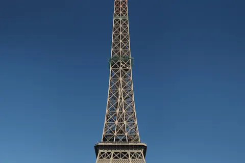
- 1Eiffel TowerMonuments
- 2LouvreMuseums
- 3Notre-Dame de ParisChurches and chapels
- 4Sainte-ChapelleChurches and chapels
- 5Arc de TriompheMonuments
- 6Sacré-CœurChurches and chapels
- 7Musée d’OrsayMuseums
- 8PanthéonMonuments
- 9Palais GarnierShows
- 10Place de la ConcordeSquares and streets
- 11Jardin du LuxembourgGardens
- 12Les InvalidesMonuments
- 13Centre PompidouMuseums
- 14Pont NeufMonuments
- 15Place des VosgesSquares and streets
- 16Tuileries GardenGardens
- 17ConciergerieMonuments
- 18Champs-ÉlyséesSquares and streets
Districts
The Marais
The Marais is a historic district in Paris, France.
Montmartre
Montmartre is a large hill in Paris’s northern 18th arrondissement.
Latin Quarter
The Latin Quarter of Paris is a district in Paris on the left bank of the Seine, around the Sorbonne.
Saint-Germain-des-Prés
Saint-Germain-des-Prés is one of the four administrative quarters of the 6th arrondissement of Paris, France, located around the church of the former Abbey of Saint-Germain-des-Prés.
Île de la Cité
The Île de la Cité is one of two natural islands on the Seine River in central Paris.
Île Saint-Louis
Île Saint-Louis, eleven hectares in size, is one of two natural islands in the Seine river, in Paris, France.
App in preparation
The Paris guide has no app yet. Leave your address: a single message on the day it comes out.